
Open
Food Street
Businesses, products, services, discussions, events, and local discovery blocks are testable.

Districts as Economic Hubs
Explore high-density Black population centers as living districts with businesses, products, services, jobs, events, groups, and civic opportunities.
Businesses, products, services, discussions, events, and local discovery blocks are testable.
Business profiles and directory search are available with live/fallback source indicators.
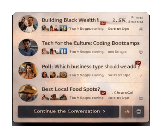
Label, radio, paid track, free boost, and artist profile systems are being connected.
Buildings, homes, rooms, furniture, Onyx, and Street Cred systems are visible but still filling out.
Hidden from public launch until supplier inventory, pricing, and fulfillment APIs are live.
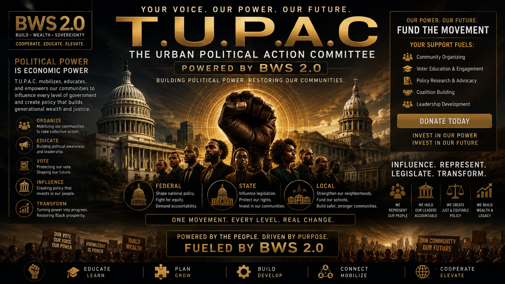
The Urban Political Action Committee
Group Economics. Group Politics. Group Power. T.U.P.A.C translates Black economic power into political power — and political power back into Black economic sovereignty.